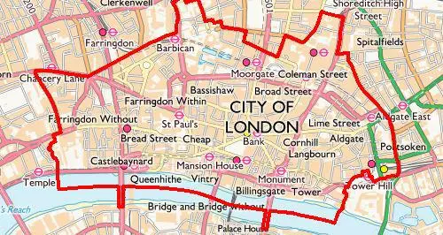
The City of London property development pipeline is an online GIS-enabled map that highlights all new and refurbished office developments planned in the City of London over the next five years.
The map is a useful tool for anyone looking for information on office space that is either under construction or planned in the City and neighbouring boroughs. The map contains additional layers that provide information on nearby amenities such as hotels, residential and retail units as well as underground stations, cycle hire and cycle parking.
The easy-to-use interactive map tools allow you to identify, query, export or share property data, by completion year of development work on site. The map is continually updated to provide the latest data on property within the Square Mile.
The City of London property development pipeline is also available as a hard copy - please email the team.