Map collections
The map holdings at LMA are an extensive collection of printed and manuscript maps and plans relating to London and surrounding areas. They include the Metropolitan Maps Collection, which originated with the library and record office of the London Country Council, later amalgamated with the Middlesex County Council to form the Greater London Council, and the holdings formerly held at Guildhall Library Prints and Maps which include material gifted or purchased over a period of more than a century.
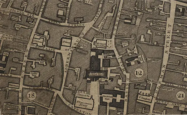
Maps can also be found across the archive collections as they would have informed the business activities of the organisation, for example estate maps in diocesan, family and livery company archives. LMA continues to develop these collections and at present, holds over 65,000 maps including Ordnance Survey, parish and ward.
While many maps can be found on The London Picture Archive, the descriptions (but not images) of many more can be found by searching our Collections Catalogue.
Highlights include:
- 'Panorama of London', by C.J. Visscher (c.1616)
- 'Civitas Londinium' commonly known as the 'Agas map' due to its incorrect attribution to Ralph Agas (edition published c.1633, documenting London in 1561)
- 'General Views of London', by Wenceslaus Hollar (c.1657)
- A detailed plan of the Dock Yard at Deptford and the surrounding area, by Thomas Milton showing vessels and river traffic [c.1770)
- 'Insurance Plan of the City of London', by Charles E. Goad Ltd (c.1880s)
- 'Facsimiles of Ordnance Surveys', by Alan Godfrey (range 1865-1913)
- 'Bomb Damage Maps', by London County Council (c.1940s)
Within our Mediatheque, access to a selection of these maps is available via either a reference copy, The London Picture Archive, or our onsite interactive resource, Magnifying the Metropolis.